Description
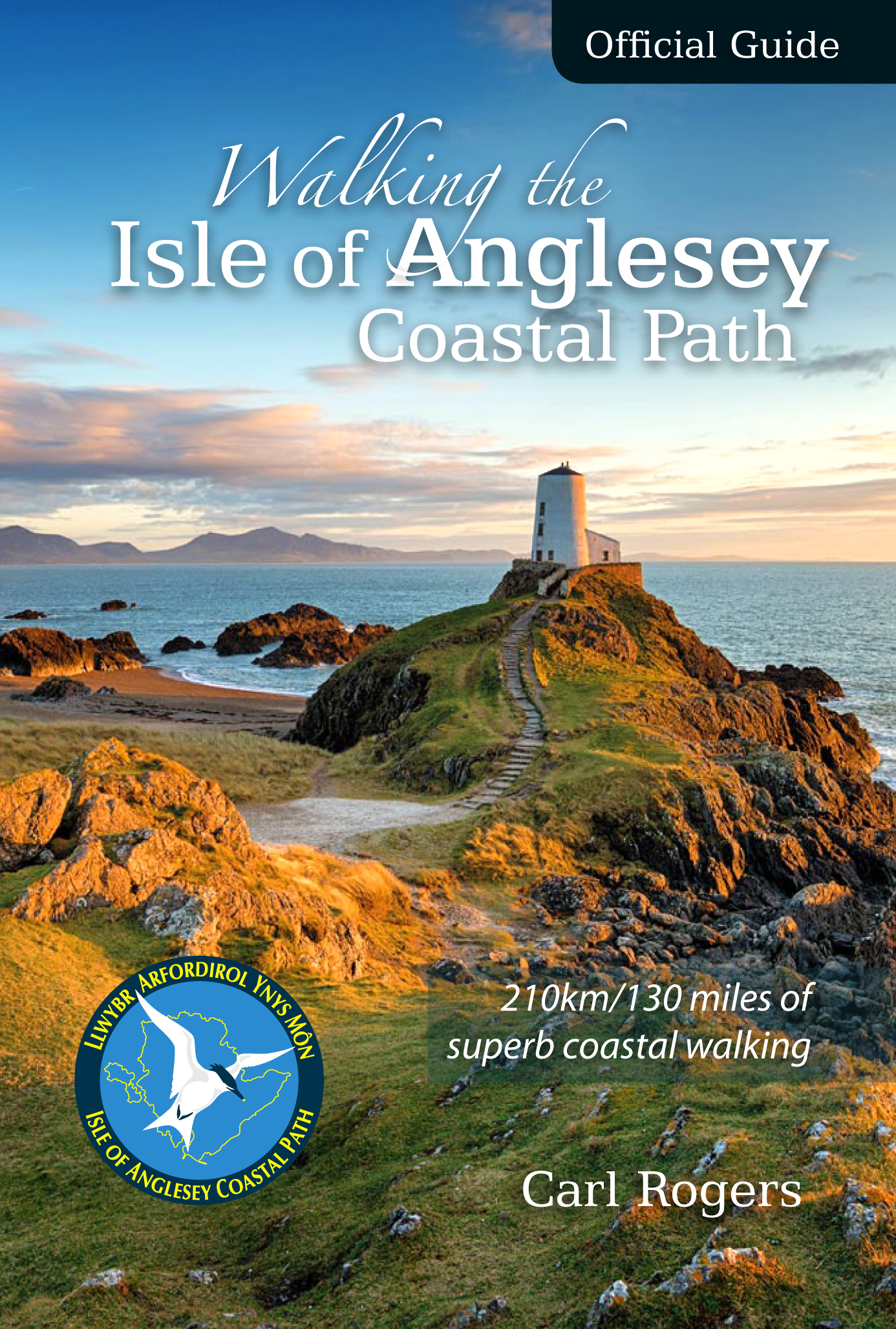
This Official Guide to the Anglesey Coastal Path describes the route in a clockwise direction, starting and finishing at Holyhead.
New Edition – rewalked and wholly updated.
The 130 mile/210km long Isle of Anglesey Coastal Path passes through some of the grandest coastal scenery in Wales — wide sandy bays and estuaries, intimate coves, dramatic cliffs and rocky islets, sand dunes and forests—much of it designated ‘An Area of Outstanding Natural Beauty (AONB).
The guide has been designed to provide all the information needed to plan and walk the coastal path and includes:
- Information on accommodation, public transport, seasonal closures and tidal restrictions
- Twelve day-walk chapter sections with detailed route descriptions and full Ordnance Survey mapping
- Fascinating notes on points of interest
- Clockwise route description
The guide splits the route into 12 convenient day sections, each of about 10-17 miles / 16-27 kilometres. It contains everything local and long-distance walkers need to enjoy the path.
Contents
Distance chart
The Isle of Anglesey
A brief history of Anglesey
A history of the coastal path
Walking the Isle of Anglesey Coastal Path
General access restrictions
Safety on the Coastal Path
Getting to the official start point
Walking the Coastal Path and transportation
Accommodation along the Coastal Path
Isle of Anglesey Coastal Path
Section 1: Holyhead to Church Bay>
Section 2: Church Bay to Cemaes
Section 3: Cemaes to Amlwch Port
Section 4: Amlwch Port to Moelfre
Section 5: Moelfre to Pentraeth
Section 6: Pentraeth to Beaumaris
Section 7: Beaumaris Llanfairpwll
Section 8: Llanfairpwll to Newborough
Section 9: Newborough to Aberffraw
Section 10: Abberffraw to Four-Mile Bridge
Section 11: Four-Mile Bridge to Trearddur
Section 12: Trearddur to Holyhead
What they say …
“These excellent guides lay the whole Wales Coast Path at your feet — mixing practical information with the history, heritage and wildlife you will meet as you walk.”
— Country Walking magazine


Reviews
There are no reviews yet.