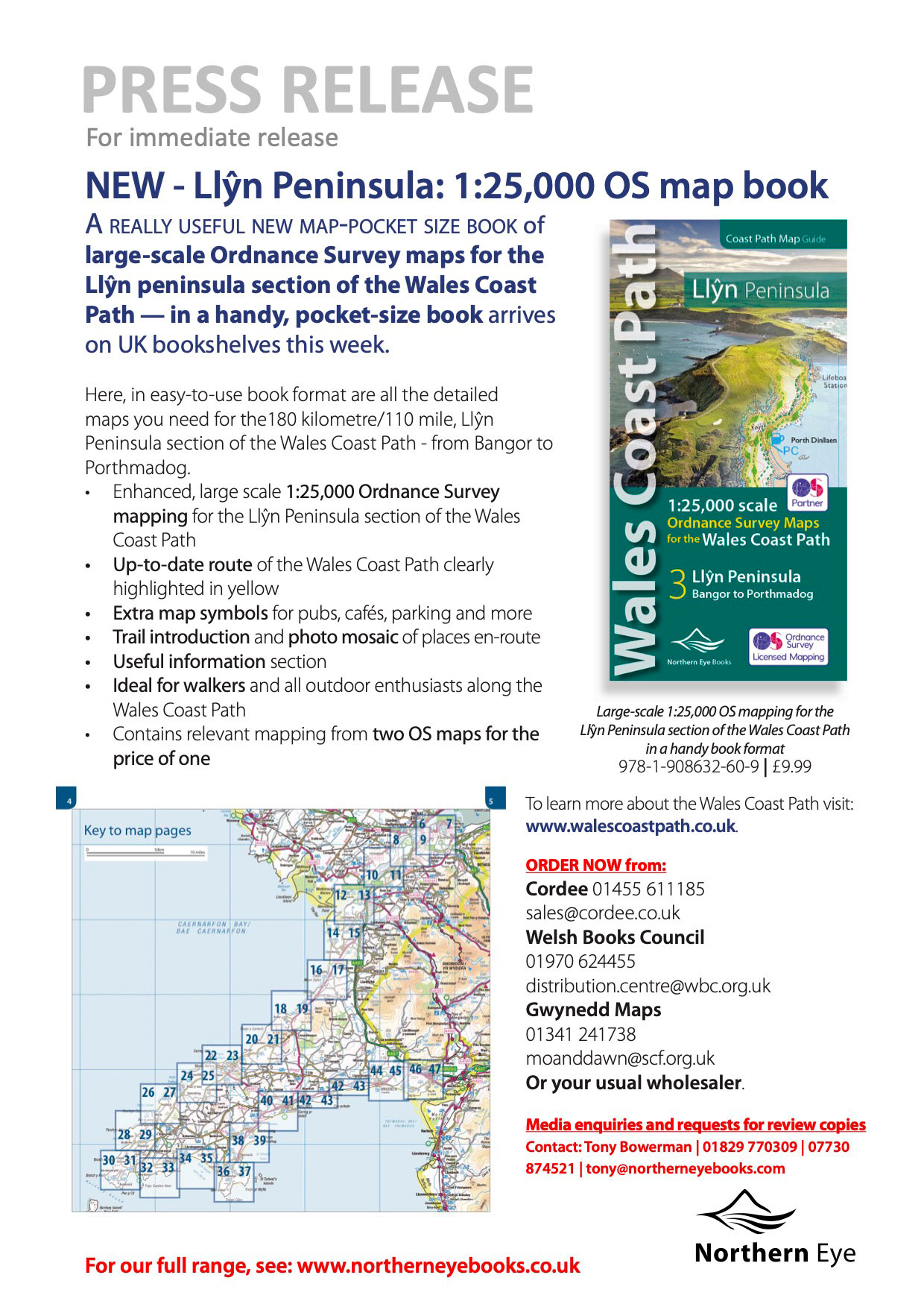
Llŷn Peninsula: 1:25,000 OS map book
A really useful new map-pocket size book of large-scale Ordnance Survey maps for the Llŷn peninsula section of the Wales Coast Path — in a handy, pocket-size book arrives on UK bookshelves this week.
Here, in easy-to-use book format are all the detailed maps you need for the180 kilometre/110 mile, Llŷn Peninsula section of the Wales Coast Path – from Bangor to Porthmadog.
- Enhanced, large scale 1:25,000 Ordnance Survey mapping for the Llŷn Peninsula section of the Wales Coast Path
- Up-to-date route of the Wales Coast Path clearly highlighted in yellow
- Extra map symbols for pubs, cafés, parking and more
- Trail introduction and photo mosaic of places en-route
- Useful information section
- Ideal for walkers and all outdoor enthusiasts along the Wales Coast Path
- Contains relevant mapping from two OS maps for the price of one
Large-scale 1:25,000 OS mapping for the Llŷn Peninsula section of the Wales Coast Path in a handy book format 978-1-908632-60-9 | £9.99
To learn more about the Wales Coast Path visit: www.walescoastpath.co.uk.
ORDER NOW from:
Cordee 01455 611185 | sales@cordee.co.uk
Welsh Books Council 01970 624455 | distribution.centre@wbc.org.uk
Gwynedd Maps 01341 241738 | moanddawn@scf.org.uk
Or your usual wholesaler