-
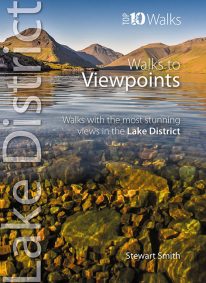 When it comes to hill walking, walks with views are much more fun than those without. These walks will also take keen photographers to come of the best places in Cumbria for taking those stunning images. Viewpoints are the walkers reward: the potential grandeur of the vista or panorama from just over the next incline or the atop the next crag is the incentive that draws on weary legs to summits. With lakes, rivers, forests, woodland, rolling countryside and craggy fells all crammed into such a compact geographical area, it’s no surprise that the Lake District is full of such stunning visual rewards, with unique and beautiful views around every corner.
 -
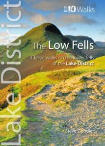 This superb pocket size book will take you on ten short circular walks to the ten best-known low fells in the Lake District The fells get their name from the Old Norse word, fjalls, which originally meant areas of rough upland grazing. Today, the Lakeland fells promise some of the best high level walking in England, and a real sense of freedom. But though the high fells often feature rocky summits, narrow edges and sheer cliffs, the lower fells, below the 2,000 foot contour, are greener, rounder and kinder. Walking on them can still be steep and strenuous, of course, but the routes are more suitable for the general walker. And the views are just as incredible.
 -
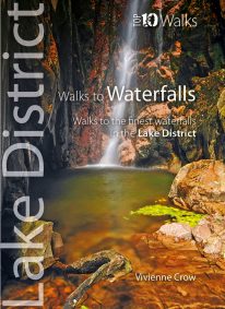 WINNER OF THE OUTDOOR WRITERS AND PHOTOGRAPHERS’ GUILD’S ‘BEST GUIDEBOOK’ AWARD 2013 This attractive pocket size book features ten easy, short circular walks to the most amazing Lake District waterfalls. The dramatic waterfalls of the Lake District are mostly a by-product of the last Ice Age — the awesome result of the ancient interplay of ice and rock. Given perpetual life by the region’s high rainfall, they come thundering down from the fells in a variety of forms. No two are the same. Many carry the name ‘force’—from the old Norse foss simply meaning ‘waterfall’—a remnant of the times when Norsemen dominated these uplands. Unmissable!
 -
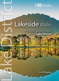 This popular pocket size book will take you on ten short circular walks to the finest lakeside paths in the Lake District. Lakeland’s characteristic lakes and meres are a legacy of the last Ice Age when vast ice sheets scoured out deep U-shaped valleys and upland combes. Today, sixteen main lakes and scores of smaller tarns punctuate the National Park. They include England’s longest lake (Windermere: 10½ miles long), and its deepest lake (Wast Water: 243 feet deep). Only Windermere, Derwent Water, Coniston Water and Ullswater have regular steamer and ferry services, yet every lake features dramatic waterside walks that will stay in your memory forever.
 -
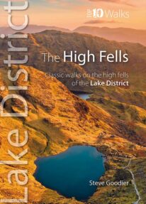 This handy, pocket size book explores ten short circular routes on the best high fells in the Lake District. The Lakeland fells have inspired writers, artists and walkers for centuries. Like the deep valleys that separate them, they were formed by the flow and grind of ancient ice sheets. Above the 2,000-foot contour, they form a high mountain environment whose sheer cliffs, narrow edges, and exposed rocky summits demand respect. Today, this rugged upland landscape is one of the most visited hill walking areas in Britain. The high fells feature enough classic routes, challenges and captivating views to delight even the most demanding fell walker.
 -
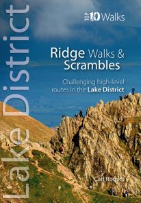 The Lakeland Fells have some of the finest ridge walks in the country. Exploring these ridges offers fell walking at its most satisfying — staying high, taking in several summits and enjoying the spectacular settings. Many of the Lake District’s ridge walks have become classics, like the grassy edges of the Fairfield and Kentmere Horseshoes, or rocky aretes of Striding Edge and Swirral Edge and the aptly named Sharp Edge of Blencathra.
 -
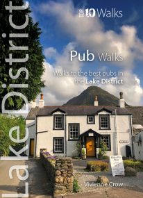 Here in one pocket size book are ten, easy, short circular walks to the finest Lake District pubs. The words ‘Lakeland’ and ‘pub’ go together like ‘bread’ and ‘butter’ or ‘Romeo’ and ‘Juliet’. The Lake District is a region that’s famed for its traditional inns and cosy, friendly village pubs almost as much as it’s famed for its magnificent walking country. So, what could be better than combining the two—enjoying a pint of local ale half-way through a gorgeous Sunday stroll, or a hearty meal at the end of a day’s hiking?
 -
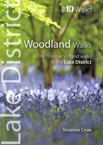 This lovely little book will take you on ten short circular walks through the finest woods and forests in the Lake District People seem to be drawn to trees, be they part of a landscape that has existed for centuries or planted in more modern times. There is something special about being in among their sturdy trunks, surrounded by a rich understorey with the sunlight piercing the canopy high above. In the Lake District, there is a huge variety of woodland — and no matter what their origins, what tree types grow there or how they have been managed, that extraordinary atmosphere never fails to nourish the soul.
 -
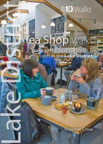 A visit to a tea shop adds something special to a walk. It’s always a treat to sit down to coffee and cake at the end of an afternoon stroll or to tuck into a hearty lunch half-way through a gorgeous hike. From quaint little tea rooms that still serve drinks in china cups to modern cafés staffed by trained baristas, the Lake District has plenty to offer — and all surrounded by a truly breathtaking UNESCO World Heritage landscape. The ten tea shops in this book have been chosen partly on the basis of the excellent walking that can be enjoyed from their doors, and partly on the basis of the fare and ambience they have to offer. They occupy village, lakeside and woodland locations. The walks themselves take in hidden valleys, low fells, lakes, waterfalls, riverside paths, fabulous viewpoints and wildflower-filled woods — a tremendous array of the sort of scenery for which the Lake District has become world famous.
 -
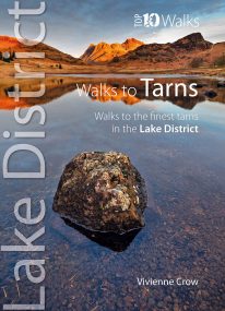 This smashing little book features ten short circular walks to the loveliest tarns in the Lake District. Norsemen, who dominated Lakeland 1,000 years ago, called the small bodies of water they found in the mountains tjorns—‘little lakes’ or , literally, ‘teardrops’. Now known as tarns, they are remnants of the last Ice Age when huge ice sheets scoured out hollows in the mountains that then filled with water. There are hundreds of tarns in the Lake District National Park: from tiny pools sparkling like blue jewels on high, lonely ridge tops, to small lakes sitting cold and moody at the base of sombre cliffs.
 -
 WINNER OF TGO’s ‘BEST GUIDEBOOK’ AWARD 2013 This award-winning book of short circular walks explores the ten most amazing historic sites in the Lake District. It may not seem obvious at first, but the rich human heritage of the area we now call the Lake District is evident all around us as we walk the fells and dales. From the enigmatic monuments built by prehistoric peoples to the industrial scars left in more modern times, centuries of human habitation have left their mark on this landscape. Keep your eyes and your imagination open, and you will come to realise that every step you take is a step through time. A worthy winner.
 -
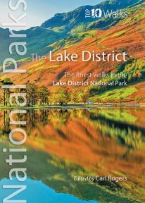 Discover the very best of the Lake District. Part of the Lake District’s unique attraction is its compactness. Within its boundaries are a rich mix of lakes, mountains, forests and farmland characterised by pretty villages, winding roads, deep dales and valleys, drystone walls and distinctive Herdwick and Swaledale sheep. Ready to explore? Discover the two loveliest lakeside walks, the best pub walk, and the most amazing view. Visit Cumbria’s stunning Castlerigg stone circle, scale its best-loved low and high fells, or marvel at its most dramatic waterfall. Every one is a walk to remember.
 -
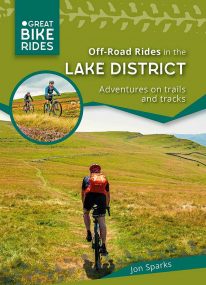 by Jon Sparks The second in a series of themed cycle guides to the Lake District, Off-Road Rides outlines a series of cycle rides filling the often-overlooked gap between easy forest roads and hardcore mountain biking. The routes seek out enjoyable tracks and trails, linked by quiet lanes. They include café and picnic stops, plus points of interest along the way.
 -
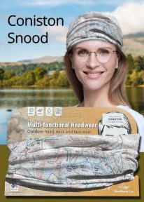
Lake District: Coniston - Neck Gaiter/Scarf/Snood
Wearable large-scale 1:25,000 Ordnance Survey map artwork: Coniston in the Lake District
CONISTON IS ONE OF THE LAKE DISTRICT'S LOVELIEST LAKES. Over five miles long and surrounded by the Cumbrian fells, Coniston is a justified favourite with visitors. The luxurious, silky neck tube features wearable large-scale 1:25,000 Ordnance Survey map artwork. Now you or a friend can own this stylish and permanent souvenir of an iconic part of the English Lake District. Note: While the Ordnance Survey mapping used on the snood is up-to-date at the time of production, it is not recommended for navigation. Walkers should carry the correct OS online or sheet map and compass.Ordnance Survey Licence No.: 0100047867
-
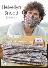
Helvellyn - Neck Gaiter/Scarf/Snood
Wearable large-scale historic map artwork: Helvellyn in the Lake District
HELVELLYN HAS BEEN A POPULAR CUMBRIAN SUMMIT FOR MANY YEARS. The snood's tightly woven material features a detailed historic colour map dating from 1912 — and shows the mountain in all its timeless beauty. A wonderful keepsake, gift or souvenir Note: The historic mapping used on this snood is not recommended for navigation. Walkers should carry the correct modern OS online or sheet map and compass. -
Coming Soon
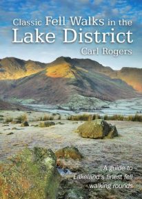 An authoritative new guide to the classic, ‘must do’ fell walking rounds in the Lake District. This pocket-sized guide is designed to be taken with you and outlines the many classic fell walking rounds to be enjoyed on the Lakeland fells.
 -

Lake District: Derwentwater - Neck Gaiter/Scarf/Snood
Wearable large-scale 1:25,000 Ordnance Survey map artwork: Derwentwater in the Lake District
DERWENT WATER IS ONE OF THE LAKE DISTRICT'S MOST POPULAR LAKES. Surrounded by fells, the island-dotted lake is three miles long and lies just to the south of Keswick. This luxurious, silky neck tube features wearable large-scale 1:25,000 Ordnance Survey map artwork of the lake and its beautiful shore. Now you or a friend can own this stylish and permanent souvenir of an iconic part of the English Lakes. Note: While the Ordnance Survey mapping used on the snood is up-to-date at the time of production, it is not recommended for navigation. Walkers should carry the correct OS online or sheet map and compass.Ordnance Survey Licence No.: 0100047867
-
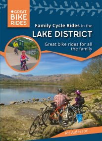 by Alf Alderson As one of the UK’s most beautiful regions it’s no surprise that the Lake Districtis so popular amongst cyclists. It also has a fearsome reputation — climbs such as Honister Pass and Whinlatter Pass are challenging enough to have featured in the Tour of Britain, whilst the grueling combination of Hardknott and Wrynose Passes between Little Langdale and Eskdale offers some of the toughest cycling in the country, with 33 per cent gradients in some places. But the Lake District is not all super-steep hills, fortunately! There are plenty of easy lakeside cycle paths and quiet country lanes, along with the mountain bike centres at Whinlatter and Grizedale, where even the youngest cycling enthusiast can get to know this beautiful landscape. So with a little effort, anyone can access some truly magnificent Cumbrian scenery on their bike
 -
 by Vivienne Crow This exciting, new and interactive guide brings families with children ten of the very best family adventures in the Lake District National Park. With expertly-chosen adventures, superb photographs, clear information, an overview and introduction for each walk, expertly written numbered directions, large scale maps, and four themed interactive challenges for every adventure, these guides set a new standard in design, concept, clarity and ease-of-use.
 -
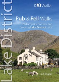 If you like walking up Lakeland's most iconic fells followed by a visit to an excellent and nearby pub or inn, then this is the book for you. Well-known outdoor author Carl Rogers cleverly combines some of Cumbria's finest fell walks with its best-loved pubs. They're a marriage made in heaven — with some super natural pairs such as the Kirkstile Inn at Loweswater with Melbreak literally just behind the pub. Up a fell and down a pint - what could be better?
